
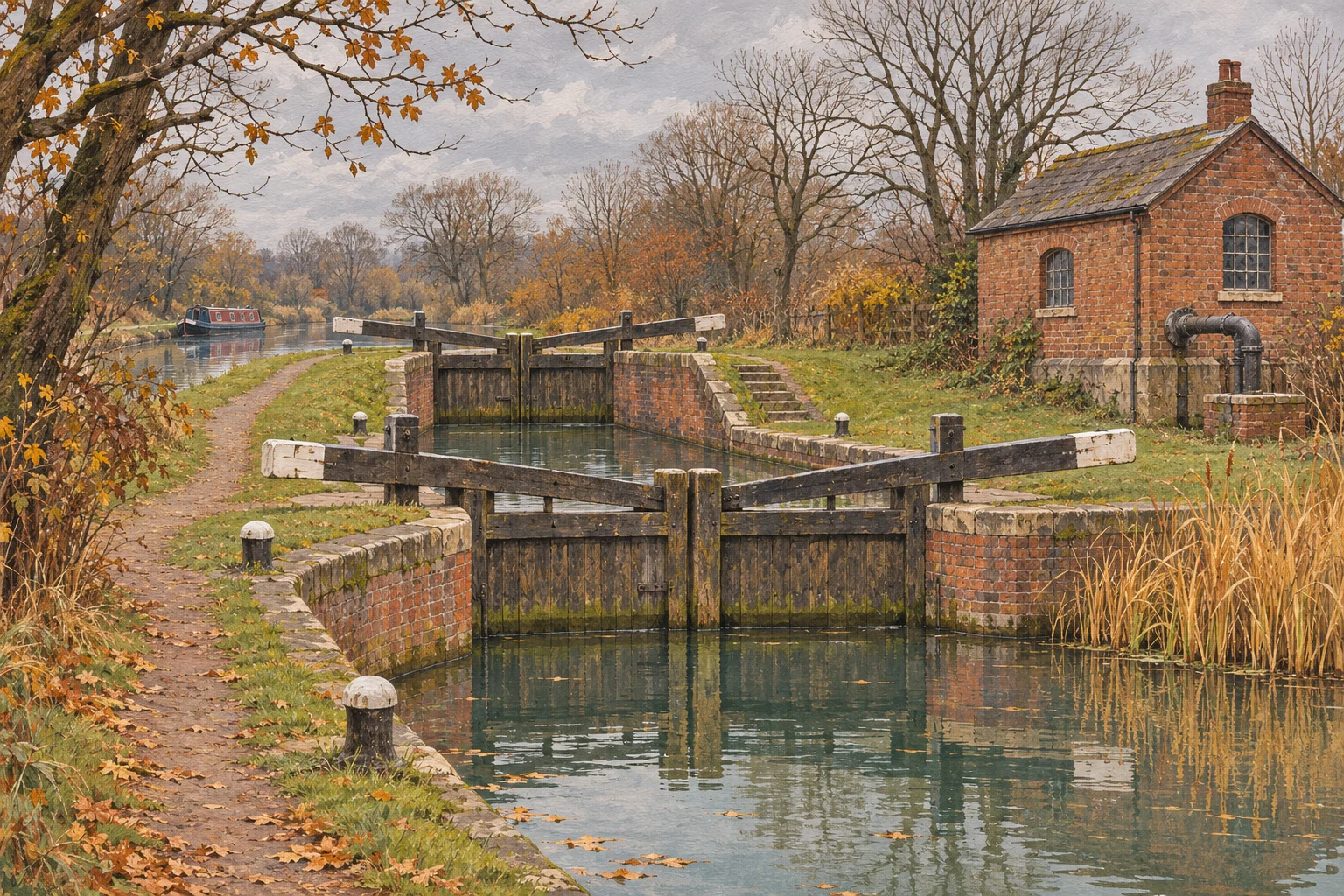
A canal can look wonderfully self-sufficient. There it sits, holding up your boat, reflecting a bridge and giving the impression that water is simply something it has plenty of. Spend a wet November afternoon aboard and the idea of a shortage can feel especially unreasonable. There is quite a lot of water finding its way down the back of your collar.
Unfortunately, your collar is not a reservoir catchment. Rain falling on the towpath beside you does not necessarily solve a water-supply problem somewhere else on the navigation. The canal has a much larger household to run than the stretch visible from the galley window.
Behind that apparently settled surface is a network of supplies, storage, pumps and decisions. Some of it is conspicuous enough to become a visitor attraction. Some is easily passed without a second glance. All of it helps explain why the state of a canal cannot be judged by looking at the weather outside your own boat.
It is an interesting business, keeping a long piece of water in the right place. Gravity has firm opinions, and very little interest in your cruising plans.
A canal has an income and outgoings
The Canal & River Trust describes a supply system drawing on reservoirs, rivers and streams, with water also pumped from underground. Different stretches have different arrangements. The water under your hull may have taken a rather less obvious route than the one you followed to get there.
There are demands on that supply too. Boats passing through locks use water, while warm weather brings evaporation. The Trust’s water-management FAQs also explain the importance of leakage through canal beds and banks. An old clay-lined waterway is not a sealed laboratory tank.
Think of the level you see as the result of a balance, rather than a permanent quantity that nobody has to think about. Water enters and leaves; somebody has to understand both sides of the account.
This is where a familiar canal view becomes rather more interesting. A feeder, a reservoir shown on the map or a small operational building may be part of the explanation for the water beneath you. It need not be photogenic to matter. Much of the useful work on the waterways has never made a serious attempt to look decorative.
The water has to get upstairs
Locks make a stepped route possible, but they also make water management a continuing job. Filling a conventional lock takes water from the higher level; emptying it releases water to the lower one. The boat can travel uphill. The water involved in that cycle has moved downhill.
That distinction is easy to overlook when you are concentrating on ropes, gates and the whereabouts of the windlass. From the boat’s point of view, the important thing is reaching the next level. From the supply system’s point of view, there is now water to replace above.
Where back-pumping is installed, water can be returned up a lock flight for further use. It is a useful answer to gravity, although it requires equipment and energy. The existence of a pump does not mean the supply is unlimited or that every flight has the same arrangement.
The lesson is quite modest: the surface that looks so restful is being supported by a working system. It is worth knowing something about that system before deciding that water restrictions make no sense because the lock below looks perfectly full.
One canal, several answers
The Grand Union provides a good example of why there is no single answer to the question of where canal water comes from. The Trust’s account identifies several sources along its length, rather than one large supply serving everything in the same way.
At Knowle, it names Olton Reservoir and a backpump in central Birmingham among the principal sources. Reservoir water reaches the canal by gravity, with diverted streams making smaller contributions. At Crick, the account describes water pumped up Watford Locks alongside reservoirs serving the Leicester Summit and feeder streams.
You do not have to memorise the plumbing. Simply noticing the variety changes how you read a journey. Two stretches connected by the same canal name can depend on different combinations of storage, transfer and local supply.
It also changes the questions worth asking. How is this section supplied? Is the source nearby? Does water have to be pumped? The answers tell you more than a general impression that the surrounding countryside looks green enough.
A map becomes a little more revealing when you start following those connections. The boating route is one story. The water’s route is another, and it is not obliged to follow your preferred itinerary.
The pumping house earned its place
There is a history lesson hiding in this practical business. The Trust’s account of pumping stations describes early reservoirs being supplemented by pumps drawing from wells and rivers, or returning water up locks. Supplying a canal was a concern for its builders, not a modern complication added to spoil a pleasant day out.
At Claverton on the Kennet & Avon, John Rennie’s waterwheel-powered pump was designed in 1813 to raise water from the River Avon into the canal. It is a particularly satisfying example: a machine whose purpose becomes clearer when you understand the level difference it was built to overcome.
The surviving engineering is worth looking at for that reason. Before admiring the building, ask what the machinery was moving, where it came from and where it needed to go. Those questions turn an attractive old structure back into part of a working landscape.
For any visit, check the operator’s current opening and demonstration arrangements. An interesting piece of machinery is not necessarily running on the afternoon you happen to be passing. Even a splendid old pump is entitled to arrangements more specific than “we thought we’d pop in”.
A wet coat is not a water-level report
The Trust’s drought guidance makes a distinction that deserves more attention: rain needs to fall in the reservoir catchments to refill them. It says improvement may require prolonged rainfall over several weeks, rather than one dramatic downpour.
That makes the view through a rain-streaked window a poor substitute for information about stored water. A soaking in one place cannot tell you how another part of the system is recovering. Nor does a quieter boating season remove every demand on the supply.
The Environment Agency’s report for 30 October to 5 November 2026 offers a useful dated example. It recorded improving water resources across much of the Trust’s network, particularly in more responsive northern reservoirs, and a reduction in canal restrictions. It also reported remaining local low-water problems and a continuing drought response.
Those observations describe that reporting period. They do not establish that a particular route is open now. For a journey, read current notices for the waterways concerned, including winter maintenance closures. A national improvement and a local obstruction can exist quite comfortably at the same time, however inconvenient that may be for the person holding the tiller.
There is more to look after than the boats
A canal’s water is also habitat. The Trust explains that maintaining flow helps support wildlife and prevent stagnation. Low levels combined with high summer temperatures can bring problems including low oxygen and algal blooms.
That gives the water-management story a wider cast. Our boat’s draught is important to us, but it is not the only consideration. The canal remains a living place when nobody is cruising through it.
For boaters, the useful contribution is generally unglamorous. Follow the local instructions and current water-saving guidance. Share locks where appropriate and safe, and leave paddles correctly closed after use unless site instructions say otherwise. Report a significant leak through the navigation authority’s usual reporting route.
None of that requires turning a day’s boating into an exercise in competitive virtue. It is simply part of using shared infrastructure with a little care. The person behind you would also like water beneath their boat, as would the fish, although they tend to be less forthcoming at the lock landing.
Look beyond the reflection
Next time you study a canal map, look for the features that sit outside the cruising line. Notice a reservoir, a feeder or a pumping station. See whether the navigation authority explains the supply for that stretch. A small amount of curiosity can make familiar water feel less anonymous.
The better question is not whether the canal has water today, as if that were its natural and permanent condition. It is how the water gets there, what keeps it at the useful level and what else depends on it.
There is no need to carry the whole answer in your head. Leave some room for the shopping list and the name of the place where you last put the mooring pins. But give the unseen arrangements a little credit.
A canal offers the lovely illusion of doing very little. Keeping it that way takes rather more work.